

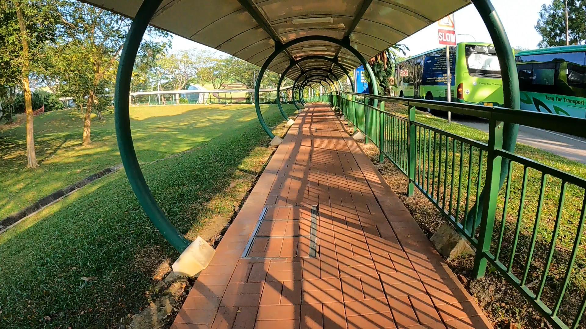
Singapore is an exciting city, but it can be confusing and intimidating to learn about and get around. An island city-state, Singapore has an area of about 780 km2 (about 280 sq. miles)—about the same size as New York City—and about 5.7 million people (more than any other city in the US except for New York City). The excellent subway system is a quick and efficient way to get around, but being underground doesn’t afford much of a view of one’s surrounds or an easy way to get oriented. With its equatorial heat and humidity, long walks are not the most comfortable way to explore Singapore. However, Singapore has an accessible and expanding network of hard-surfaced “park connectors” (separated from the main roads) that make bicycling across and around the island a pleasant way to explore the city and its various parks and green spaces.
For short-term visitors to Singapore, it probably doesn’t make sense to buy a bike, but there are plenty of options to rent them. Most of the parks have bike rental kiosks where one can rent a bike for a few hours or a day (GoCycling is a common and reliable vendor). But for longer-term rentals, there are fewer options. With a few minutes of web searching and reading reviews, I found Biking Singapore, from which I rented a Polygon Cascade mountain bike for a month; the SG $200 (about US $150) rental included a helmet and a lock. For less than SG $25 at Decathalon, I picked up a water-bottle carrier, tube repair kit, and a bell—the last an absolute necessity to alert phone-obsessed pedestrians and other bikers sharing the sidewalks and park connectors.
Finally, a decent bike-route/mapping app is crucial. GoogleMaps doesn’t recognize biking as an option for much of Singapore, and the online Singapore National Parks (NParks) maps of the Park Connector Network (PCN) are not interactive or even especially useful. However, bikemap is a great app (and not just for Singapore, either). It shows all the park connectors, connects to the phone’s GPS so one can track progress, maps and voices directions, save routes, and exports them as kml files for later use and exploration.
My primary bike route here is pretty pedestrian, though: a daily commute from home to the office.
For our two months here, we’re staying with Flossie’s family near West Coast Park and a scant km from the West Coast Park Connector. From the West Coast Park Connector, I connect to and traverse 17 km along three more park connectors—Pandan Gardens, Jurong, and Jurong West—before finishing the last 2 km of my 20-km ride to my visitor’s office at NTU along main roads within the campus.

The terrain isn’t too bad; mostly flat until having to climb the steep hill atop which NTU sits. The only real annoyance are the seemingly interminable waits for lights to change at busy intersections.

 But what’s really exciting is the video game-like quality of riding with the hundreds of other people walking, biking, or using a wide range of “PMDs” (personal mobility devices) for amusement, exercise, or to get to wherever they’re going. If you want to experience the vertigo, check out this 7-minute time-lapse video of my ±90-minute commute. Note that the 15% of the time spent waiting to cross intersections has been edited out.
But now, off to explore some more!

2 thoughts on “Dispatches from Abroad: Biking Singapore (I)”