

That is, a “triathalon” of biking, hiking, and an end-of-the day dip in the pool…
Last week, I had the opportunity not only to visit the Bukit Timah Nature Reserve, home to the last remnant of primary forest in Singapore, but also to visit the ForestGEO Forest Dynamics plots that are sited there (one in primary forest and one in secondary forest) and to learn about them from Dr. Ngo Kung Min, the Research Coordinator of the plots.
Bukit Timah is a wonderful green oasis in the middle of the everpresent energetic hubbub of Singapore. A scant 12.5 km bike from my home base in Pasir Panjang on several park connector trails (West Coast PCN to Pandan Gardens PCN to Ulu Pandan PCN to Bukit Timah PCN), the ride first thing in the morning was a great way to start the day.
I met Kung Min near the visitor’s center, where she picked up the keys to the plot (gated/fenced to reduce impacts of people and wild boar) and off we went.

The Bukit Timah primary forest plot was established in 1993, and the most recent census was just completed a couple of years ago. Like other wet forest stands in southeast Asia, the dominant trees are in the family Dipterocarpaceae, which I now know how to identify (more or less) from the characteristic venation of their leaves.


The secondary forest plot is recovering from logging operations from decades ago. Portions of it are now dominated by Campnosperma auriculata, a tree in the poison-ivy family (Anacardiaceae), and its thick leaves accumulate on the forest floor where they decompose slowly and appear to inhibit regeneration by dipterocarps.


We also dipped into the woods to see Singapore’s “Eco-Link“, a >50-m wide wildlife corridor that goes over the Bukit Timah Expressway (BKE). The Eco-Link connects the Bukit Timah Nature Reserve with the Eastern Catchment Nature Reserve, which were bisected by the BKE in 1986. Since it’s completion in 2013, the Eco-Link has reduced road-kill on the expressway while enabling many species of animals to recolonize Buikit Timah.

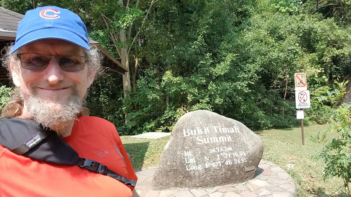 After a couple of exceptionally fun hours learning about the plots, Kang Min headed back to the office while I embarked on the second stage of my triathalon. I first climed to the summit of Bukit Timah (“bukit” is an indonesian word for hill, and although there are many neighborhoods in Singapore prefaced with “Bukit”, all but Bukit Timah have been leveled for development). It’s not that high of a summit (163 m), but it’s a steep walk up a long flight of stairs, and I felt like I’d accomplished something significant simply getting to the top.
I spent the next few hours walking all the trails within the nature reserve. The trees are simply stupendous, and difficult to photograph well. Drawing on skills I learned from Eric Zeigler about panoramas, I worked on various ways to piece together images taken both horizontally and vertically.


Back on the bike, I reached home in mid-afternoon, completing two legs of my personal triathalon. The swimming pool in the courtyard of the condo/apartment complex was a welcome cool-down and completed the day’s triad.
